Home/The River
Section 04 of 05
The River
The Huron, bridge by bridge — the reason there is a city here.
The River Walk, end to end
Five stopsNorth to south, the way the water goes. The last stop is where the old Chicago Road still crosses.
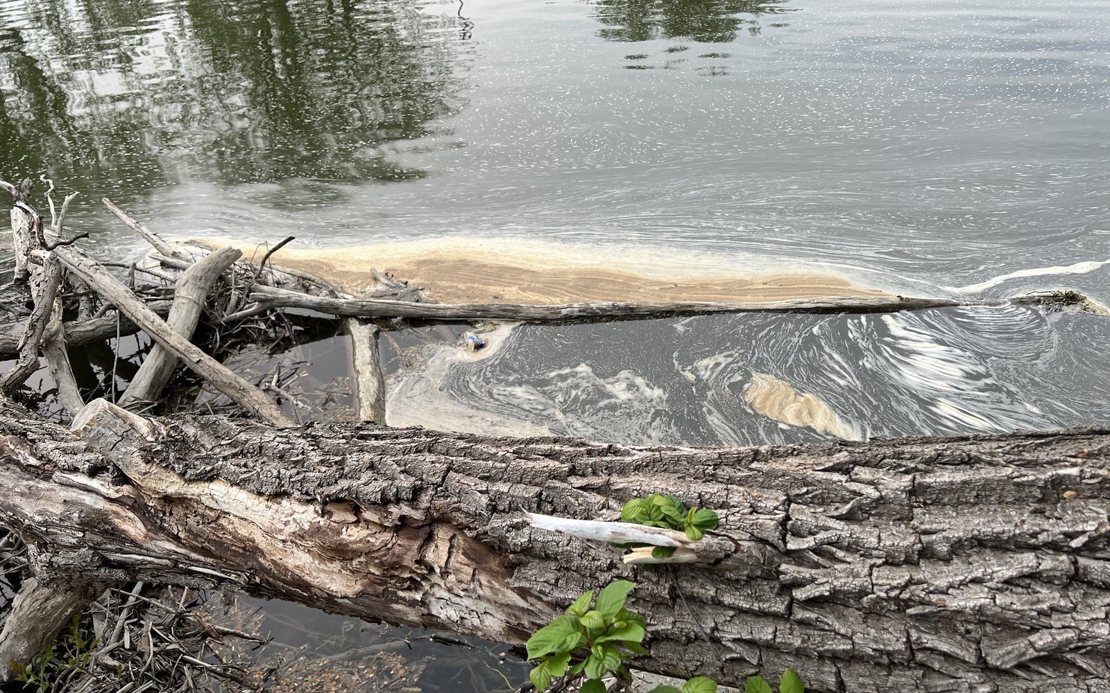
Photo: PFAS pollution along Huron River.png · Wikimedia Commons Stop one Forest Avenue BridgeThe river's quietest crossing — downstream from the dam, where the water slows and Ypsilanti forgets to perform.
-
Photo: PFAS pollution along Huron River.png · Wikimedia Commons Stop two Frog IslandThe low ground between the river and the rail embankment — where the park comes and goes on the water's schedule.
-
Photo: PFAS pollution along Huron River.png · Wikimedia Commons -
Photo: PFAS pollution along Huron River.png · Wikimedia Commons Stop four Riverside ParkMost cities hide their working edge. Ypsilanti left a gap in the fabric, and the river fills it.
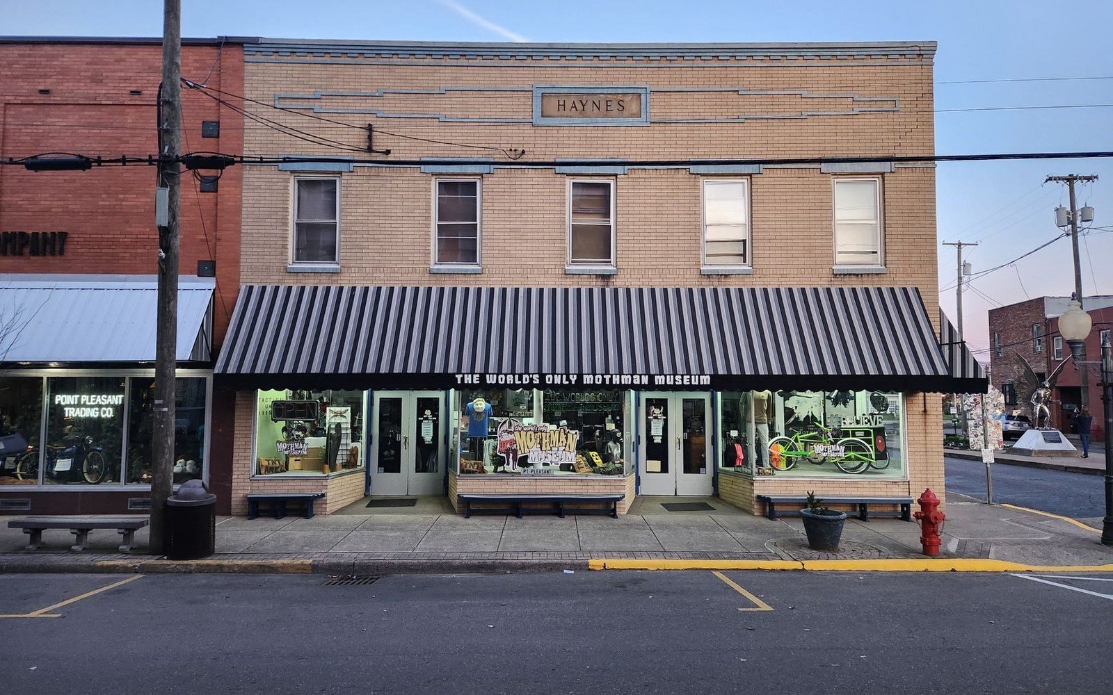
Photo: Jimmy 67 / Pexels Stop five Michigan Avenue BridgeThe road that connected Detroit to Chicago still runs through the middle of Ypsilanti, and at the end of a working day it looks exactly like what it is.
Everything in The River
5 guides- The Huron Runs Through the Middle of It7 min
Five bridges, one river, and the city assembling itself from mid-span.
- Forest Avenue Bridge3 min
The quiet end, below the old paper-mill dam.
- Frog Island3 min
A park the river reclaims and returns.
- Cross Street Bridge4 min
The hinge of the city — brick on one bank, the tower on the other.
- Riverside Park: The Back of the Town3 min
The view most towns suppress: the backs of the buildings.