The River Before the Town
The Huron River does not announce itself. If you arrive on Michigan Avenue from the east, you cross it without ceremony — a guardrail, a moment of gray water below, and then you are already in Depot Town. That modesty is misleading. The river is the reason the town exists at all, and once you start reading the city from mid-span, everything else clicks into place.
The Huron rises in Oakland County and drops south and west across Washtenaw County before bending southeast to Lake Erie. Through Ypsilanti it runs at a shallow enough grade to have powered mills, supplied the early industrial waterfront, and given the city a shape — a long, crooked spine around which streets, bridges, and neighborhoods arranged themselves. Water defines the city's shape the way Michigan Avenue defines its commercial center: not dramatically, but structurally, as a fact everything else had to accommodate.
The river enters Ypsilanti from the northwest, swings through a loose arc, and exits to the southeast. In that arc it collects most of what is worth knowing about the city. Five crossings punctuate it within a very short stretch of town. Walk all five in an afternoon and you have covered industrial history, civic ambition, park land, and two or three very different ideas about what a river is for.
Five Crossings
The northernmost crossing in the sequence is the Michigan Avenue bridge. It is the most trafficked, the least contemplative, and arguably the most important, because it sits at the hinge between Depot Town and the rest of the commercial city. From mid-span the view upstream is a compact tableau: brick warehouses and commercial blocks on the east bank, the hillside of the older residential city rising behind them, and the Cross Street Bridge visible a few hundred yards south framing the river like a proscenium arch. The Cross Street crossing is the one to linger on. It sits close to the water, it has the proportions of something built to be looked at as well as walked across, and from it you can see both the working-town character of Depot Town to the north and the parkland opening up to the south. This is the hinge of the city in more than geographic terms.
South of Cross Street the Huron opens into the park corridor that defines Ypsilanti's best public land. Frog Island sits between the main channel and the constructed channel to its west — low, floodable, a patch of willow and open grass that the river reclaims during high water and returns on its own schedule. Frog Island is not a park in the groomed municipal sense; it behaves more like a river feature that has been provisionally made available to people. Its bridge crossing is spare and functional, and standing on it gives you the plainest possible view of the Huron in its natural temper: wide and slow in summer, carrying real force in the spring thaw, indifferent to what the city has built around it.
The next crossing south is Riverside Park's footbridge, which carries you to a stretch of riverbank where the backs of the old industrial buildings face the water. Most cities hide this angle; Ypsilanti has no choice but to show it, and the view is more honest and more interesting for that. You see loading docks, masonry rears, the functional vocabulary of a nineteenth-century manufacturing waterfront, and behind them the bluff on which the residential streets climb away. The Forest Avenue Bridge closes the sequence at the quietest end — below the old paper-mill dam site, where the river widens, the foot traffic is sparse, and the mood shifts from civic to contemplative. That bridge serves walkers and cyclists on the Border-to-Border Trail, and it connects a corner of the city where the industrial past is legible in the topography — mill races, retaining walls, grade changes — even where the structures themselves are gone.
How it came to be this way
- Pre-settlementHuron River establishes drainage corridor shaping all later development
- Early 19th centurygrist, lumber, and paper mills locate on the river for waterpower
- Mid-to-late 19th centuryMichigan Central Railroad and Depot Town develop around river-adjacent flat land
- 20th centuryindustrial waterfront function fades; parkland conversion begins
- PresentHuron Water Trail designation; Border-to-Border Trail connects crossings
What the River Powered
The industrial geography of Ypsilanti is inseparable from the Huron. The earliest mills in the area — grain, lumber, paper — located themselves on the river for the same reason all early industry did: falling water meant free power, before steam, before the interurban's electricity, before everything else. The paper mill at the Forest Avenue end operated long enough to leave a dam profile that still shapes the riverbed. The mills upstream fed a supply chain that made Depot Town's warehouses necessary, which made the Michigan Central rail stop viable, which made the brick commercial blocks worth building. Pull any thread in the city's economic history and you end up back at the water.
The river's power function faded as steam and then electrical power made geography less determinative. By the time Kaiser-Frazer was building automobiles at Willow Run — a few miles to the north, on land that is its own compressed history of American industrialism — the Huron's role was more about drainage and recreation than production. The parkland along its banks is partly a legacy of that transition: land that had served industry, or that flooded too regularly to build on reliably, converted by default into public open space.
What the river retained was its character as a natural boundary, a piece of geography the city had to negotiate rather than override. Bridges had to be built; grades had to be managed; the flood cycle had to be respected, at least in the low-lying parcels. Frog Island's periodic inundations are not a failure of planning — they are the river asserting a prior claim, as it has always done.
Pull any thread in the city's economic history and you end up back at the water.
Reading the City from Mid-Span
There is a particular kind of knowledge that comes from standing on a bridge rather than walking past it. On land you move through the city sequentially, one façade at a time. On water you see the city in cross-section — the relationship between buildings, the grain of the streets as they meet the bank, the height differential between the mill-pond level and the bluff above. The river is a natural vantage point, and Ypsilanti's compact geography means that five bridges in a short stretch give you five genuinely different versions of the same city.
From the Michigan Avenue bridge, it is a commercial city of brick and interurban connections, where goods moved by rail and people moved between town centers. From the Cross Street bridge it is a civic city, conscious of its own form, with a bridge built to a proportion that suggests someone cared about the image the town projected. From the Frog Island crossing it is an ecological city, subject to seasonal forces that no amount of engineering fully domesticates. From the Riverside Park footbridge it is an industrial city, read from its working back rather than its dressed-up front. From Forest Avenue it is a city with a past receding into the landscape — infrastructure that outlasted its original purpose, converted now to recreational trail, but still carrying the memory of what the river was asked to do.
None of these is the complete picture. Taken together they are as close to a full account of Ypsilanti as you can get in a single afternoon on foot.
The River Now
The Huron today is a Water Trail — a formally designated recreational route running from the Portage Chain of Lakes in Oakland County to Lake Erie, with Ypsilanti roughly in its middle third. Kayakers and canoeists use it; the Border-to-Border Trail runs beside it for a significant portion of its Washtenaw County length; the parkland on both banks gets steady use on any reasonable weekend. The city has invested in the corridor, and the investment shows.
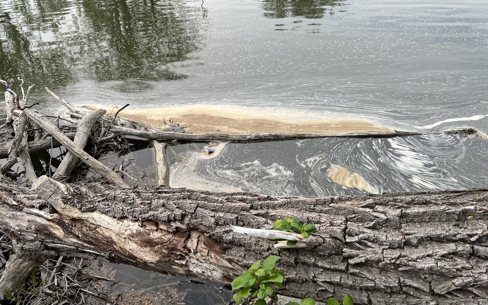
What has not changed is the river's basic indifference. It floods when it floods. It drops in dry summers to a thin channel threading through exposed gravel bars. The willows on Frog Island lean with whatever the current does. The old dam profile at Forest Avenue still deflects the flow. The Huron is not a picturesque backdrop — it is an active, variable piece of hydrology that the city sits alongside without ever fully controlling, which is as it should be.
Ypsilanti is better understood as a river city than most of its own promotional literature admits. The automotive identity is real and worth understanding — the Ypsilanti Automotive Heritage Museum in Depot Town makes the industrial arc legible in a single building — but it came late. Before the cars, before the interurban, before the Michigan Central Railroad turned Depot Town into a freight hub, there was a river with enough fall to turn a millstone, and people who recognized an opportunity when they saw one. The city assembled itself around that fact. Stand on the Cross Street Bridge on a still morning and you can still read the logic of the original decision.
Keep reading